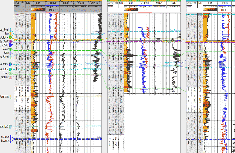
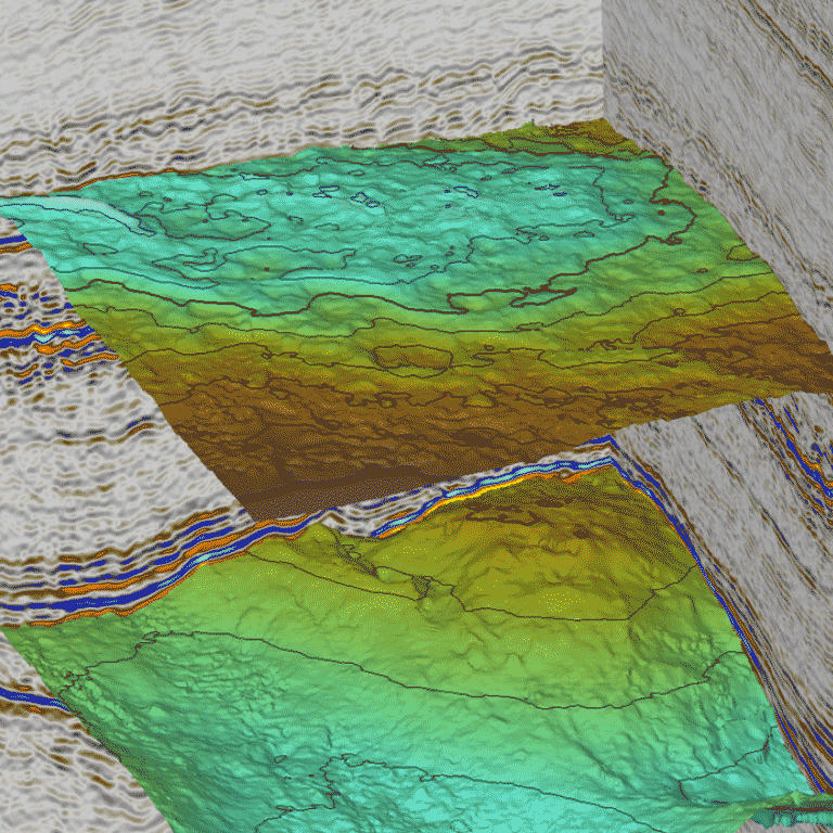
Using real seismic and well data, the workshop covers the application of seismic data in prospect identification and exploration/appraisal well planning.
The workshop is aimed at geoscientists throughout their industry careers. As it utilises actual seismic and well field data, the course can be delivered in any preferred software.
Duration
3 days
Learning Level
Skills
Knowledge
Awareness
The course is delivered through a series of discussions and exercises and will take participants through the stages of prospect identification, planning exploration and then appraisal well target locations.
As more data are obtained, participants will update their volumetric estimates and uncertainty ranges. The exercises are interspersed with presentations to reflect theoretical and soft-skill aspects of the workflow.
At the conclusion of the course, participants will present their findings and discover what the field operator actually did. A final module then covers the use of 4D seismic for monitoring production.
The focus of the course is therefore on principles, techniques and issues around the use of geophysics in the operational hydrocarbon company environment. The course will be given by Tracs staff with significant personal experience of the use of geophysics in multi-disciplined projects.
Course Content
Day 1:
Introduction to Case Study
Seismic refresher – acquisition, processing
Seismic QC
Seismic horizon interpretation
Depth conversion
Volumetrics
Day 2:
Incorporate well data
Seismic AVO
Attribute mapping
Bias, uncertainties and risk
Volumetrics and recommendations for drill locations
Day 3:
Incorporate well data
Seismic inversion
Strategies for development
Commercial options
Development recommendations
What actually happened
4D seismic for field monitoring
Course Duration
Duration is a 3 day course. As a workstation-based course, it can be delivered in the software of choice.
Peter mainly tutors courses in the Reservoir, Open Air, and Master Class Series. He has a career background as a Subsurface Team Lead in QI, Interpretation, Acquisition, Processing at Universities of Cambridge / Durham / Imperial, Elf, Shell, Apache and TRACS. Peter is a technical author, serving on the EAGE Board – Publications Officer and as First Break Editor.


 Energy transition and renewables
 Early development
 E&P overview
 Reservoir
 Wells
Wells Business
 Open air
 Uncertainty and Risk
 e-Products